Featured on the front page of The Wall Street Journal
Built by a teenager who got tired of the noise.
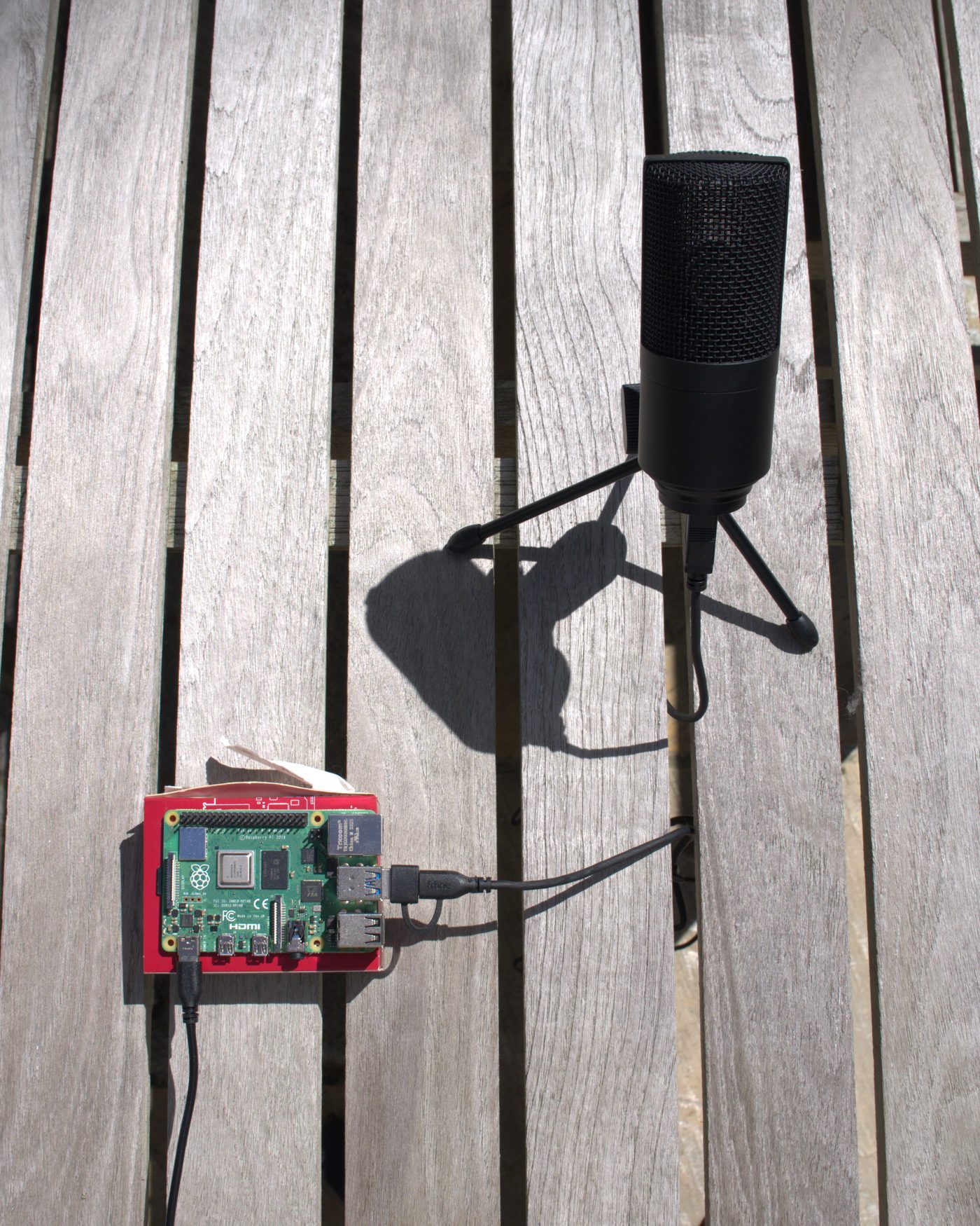
HeliTracker started as one microphone on a deck in Rye, New York. It is now a source of hard numbers on the helicopters flying between Manhattan and the Hamptons over Westchester County's Sound Shore.
Who makes this
Mateo Lallemand built HeliTracker in 2026 at age 16, while a sophomore at Rye Country Day School. He has been shipping apps and websites since he was 14, and runs MNR Developers, a small web and software studio in Rye.
The idea came from an unlikely place. Ukraine uses networks of cheap acoustic sensors to detect incoming missiles and drones by sound before radar can see them. Mateo wondered whether the same approach would work on the one aircraft that kept interrupting dinner. It did.
Every part of the system is his work: the Raspberry Pi listening device, the audio model tuned to rotor noise, the flight-matching backend, and the iPhone app that turns each pass into a row in a log.
“The Ukrainian system is triggered by the sound of a missile or drone. But in our case, it's a helicopter.”
Mateo Lallemand, quoted in The Wall Street Journal, September 18, 2026. Read about the coverage.
What the first device found
The first HeliTracker unit has been running since spring 2026 under one of the busiest charter corridors in the country. It has logged every pass around the clock, through storms and heat waves, and matched most of them to a specific aircraft and operator.
The record showed something residents had felt but could not prove: a large share of Hamptons-bound flights were passing over residential neighborhoods at roughly 1,000 feet, a fraction of the cruising altitudes charter companies advertise.
Mateo shared the data with Rep. George Latimer's office, which has since engaged the FAA on the issue. The congressman's statement to the Journal called the residents' concern legitimate and said it could not be ignored.
Where it goes next
One device proves the pattern over one house. A network of them, spread across Larchmont, Mamaroneck, Rye, and the rest of the Sound Shore, maps the whole corridor: which routes operators actually fly, how low, how often, and at what hours.
That is the goal for the coming year. If you live under the flight path and would host a device, or you are part of a neighborhood group or town that wants the data, start here.
Get in touch
Reporters, officials, neighbors, and anyone curious about the data: the contact form goes straight to Mateo and gets a reply by email.
For interview requests and media assets, see the press page.